
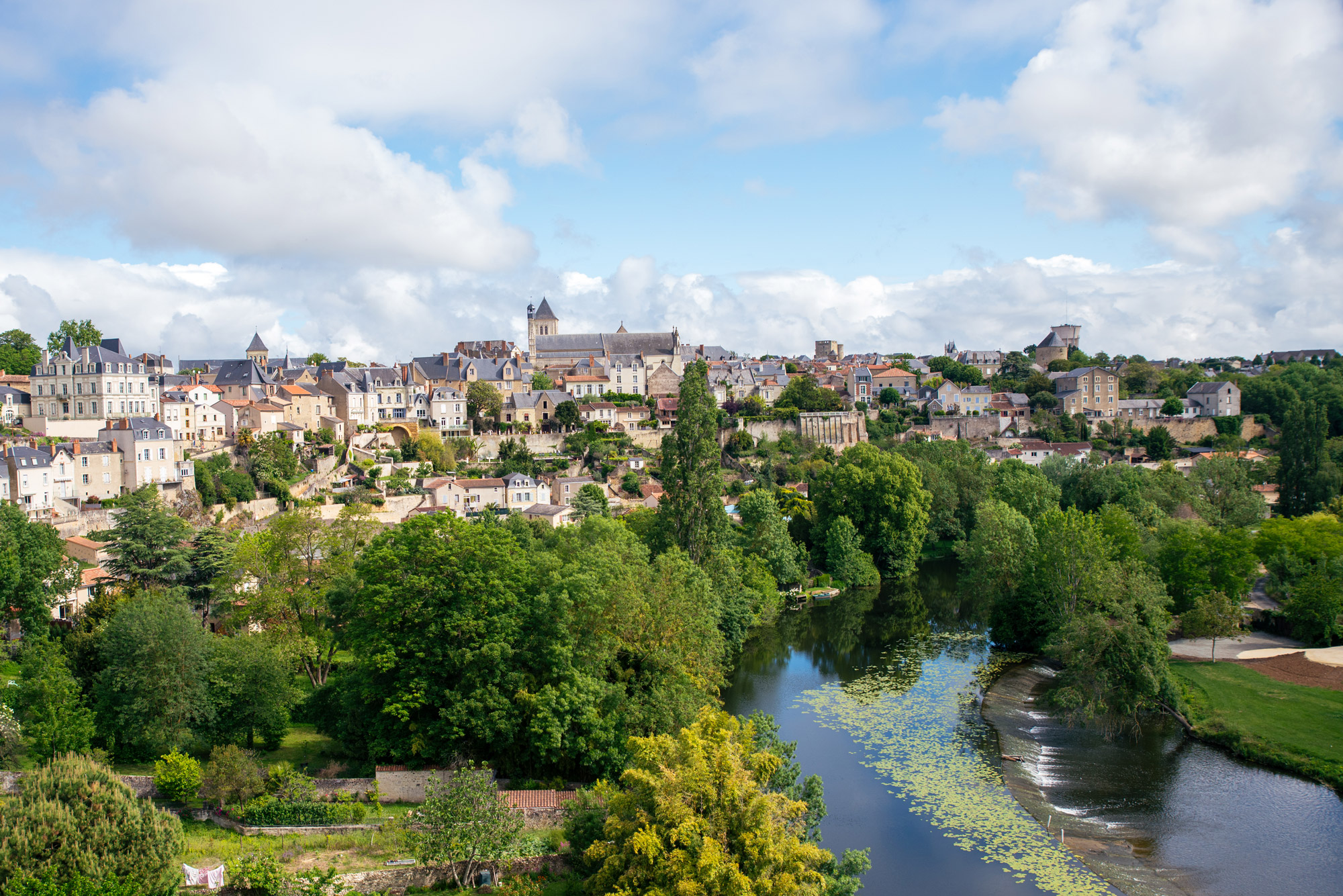
What are the must-see attractions in the Thouarsais?
Between historical heritage, exceptional natural sites and must-see events, don't miss anything the Thouarsais has to offer!
Throughout the year, we invite you to explore our treasures through a wide range of activities and discoveries.
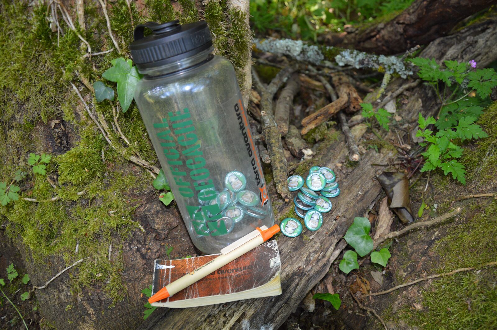
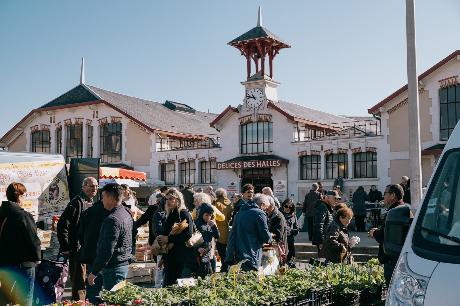
What are the upcoming events?
Discover and take part in festive, cultural and sporting events organised in the Thouarsais, according to your preferences and interests.
My favourites in the Thouarsais
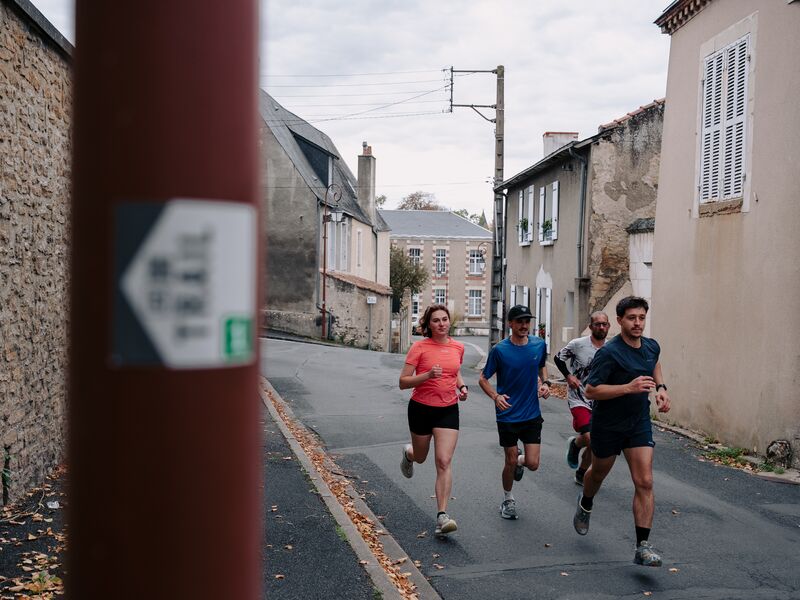
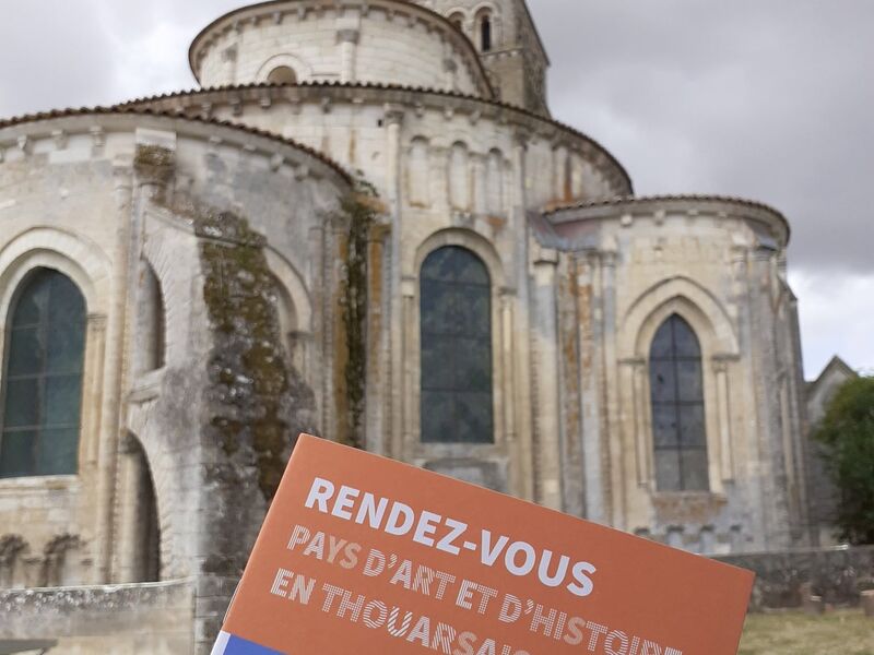
Discover the towns of the area
Plaine-et-Vallées
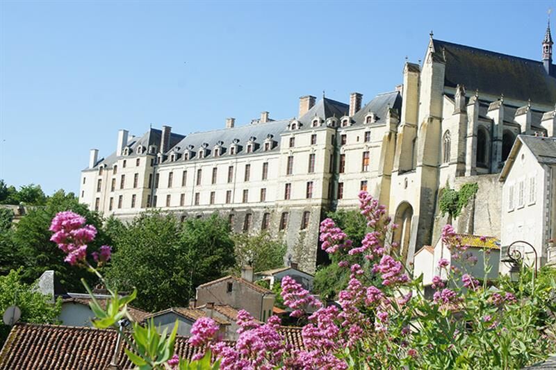
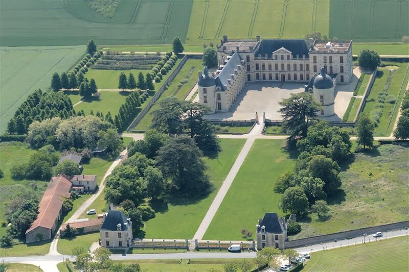
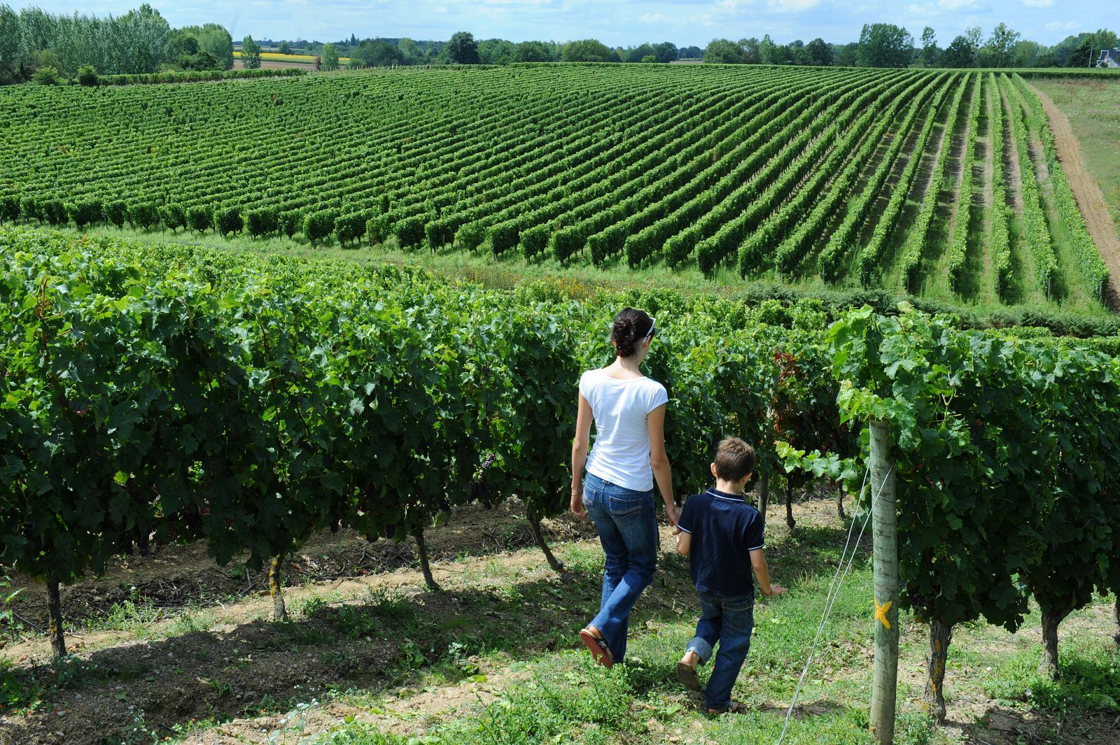
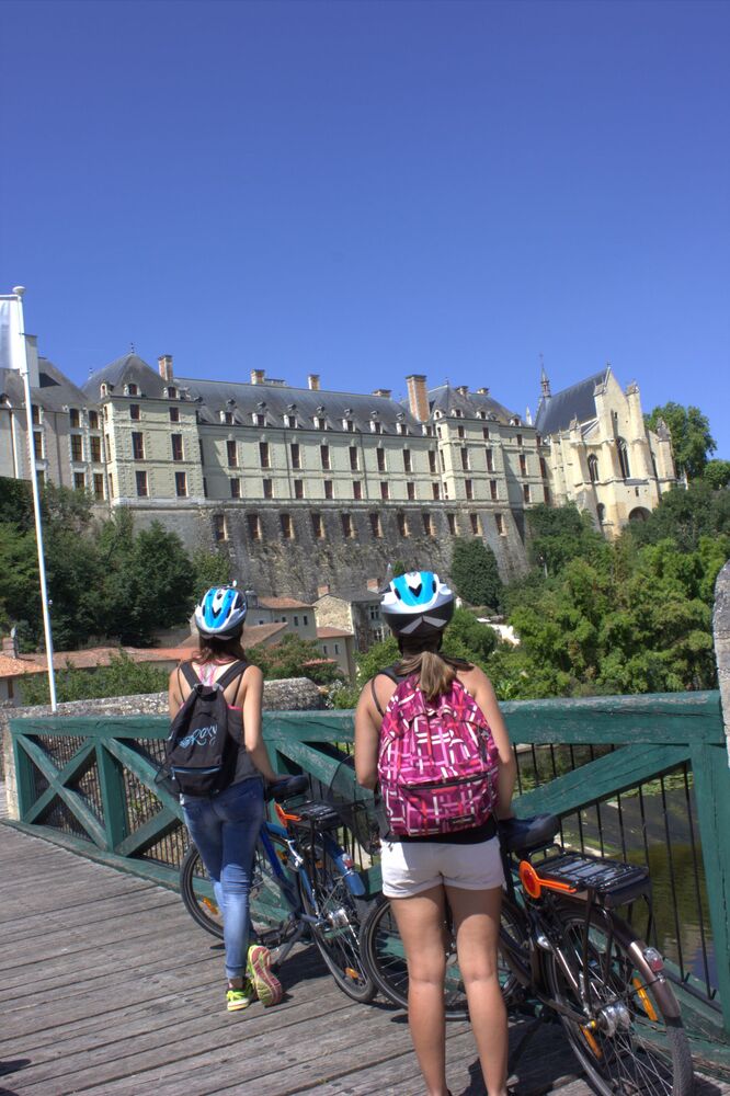
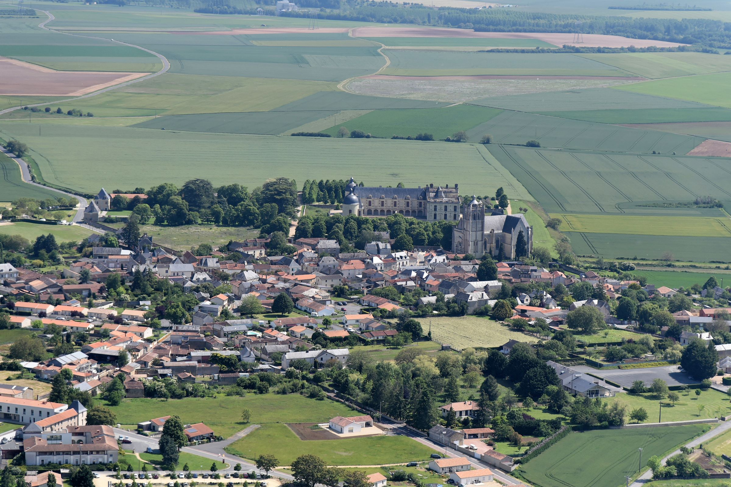
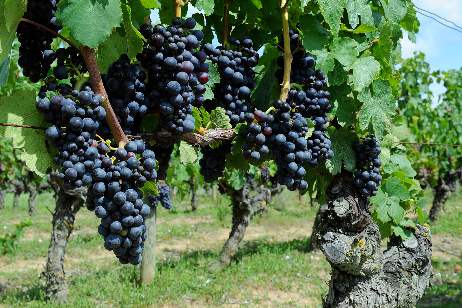
A château, like a graceful ship stranded in the middle of vast cereal plains. Beside it stands its collegiate church—impressive and towering. In the background, the Parc forest, a wide wooded area crowning the sun-kissed slopes of the surrounding hills—perfectly suited for a creative and thriving vineyard.
Who once ruled over these enchanting lands? The Gouffier family—powerful lords, some of whom were contemporaries of King Francis I. For more than two centuries, they developed and brought prosperity to the estate. Later, Madame de Montespan left her mark on the village by founding a hospice, which has since become a large retirement home.
Proud of its prestigious past, this Petite Cité de Caractère is now writing its future—facing today’s challenges alongside many other small rural towns.
Louzy
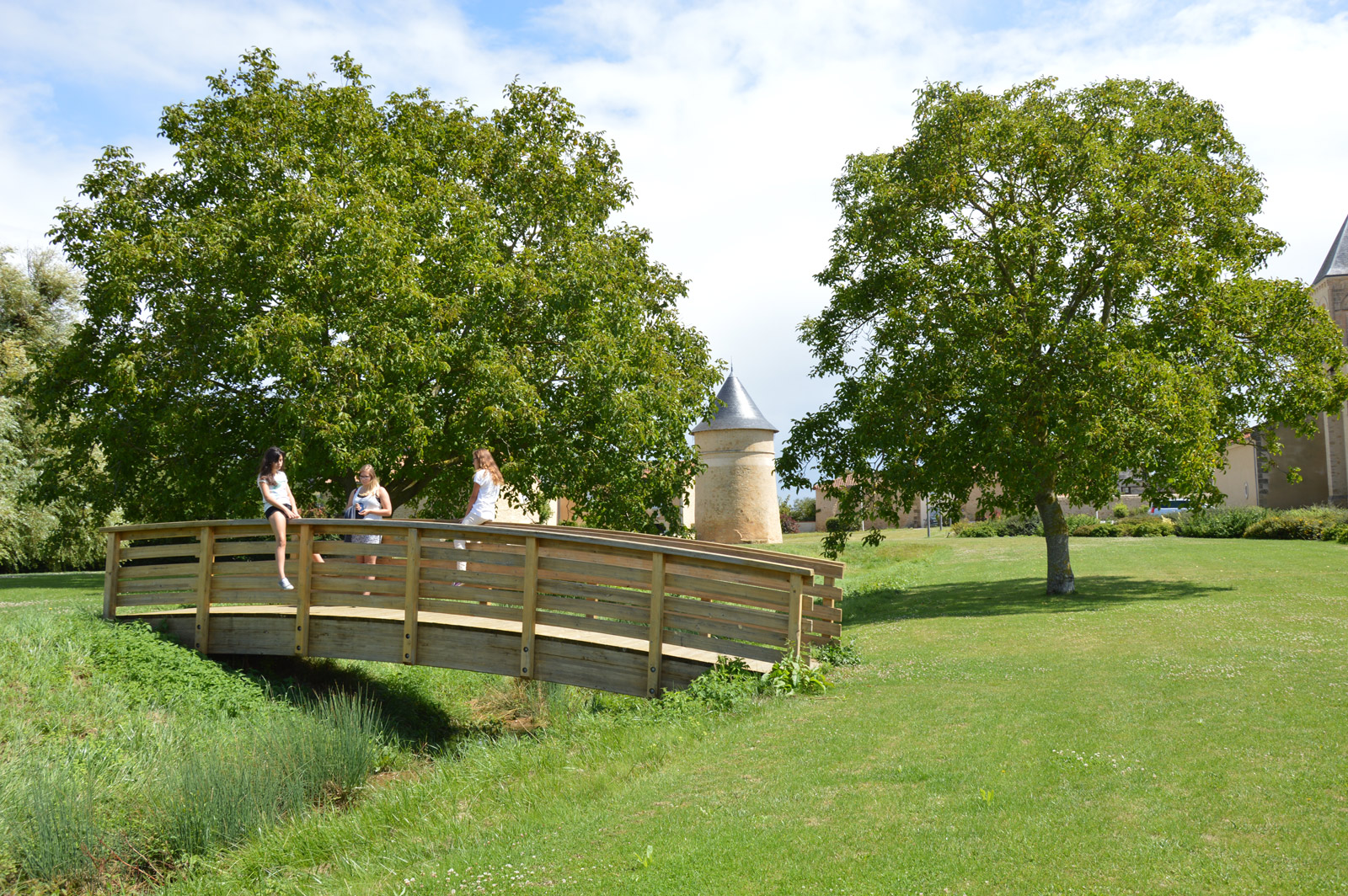
The commune of Louzy is made up of 8 villages: Le Bouchet, Launay, Mage, Monceau, La Morellerie, Parsois, Villeneuve and Vitray, arranged like neighbourhoods around the main town. Louzy is a dynamic town with a relatively young population, with just over 1,300 inhabitants living in an area of 1,800 hectares. A rural town, the growth of its industrial estate has helped to make Louzy an economic stronghold bordering the town of Thouars, in the north-east of the Deux-Sèvres department.
The emphasis on quality of life is reflected in the renovation of the town and villages, as well as the development of a meadow around a lake and the outbuildings of the château near an old dovecote. Sports facilities, the village hall and a number of other premises dedicated to the many associations provide the backdrop for activities and festivals.
Two construction projects: a new cultural and festive facility and a ‘community bar’ will add to the dynamism of this ‘little corner of paradise’.
Sainte Gemme
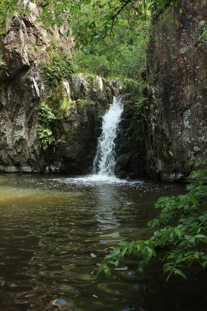
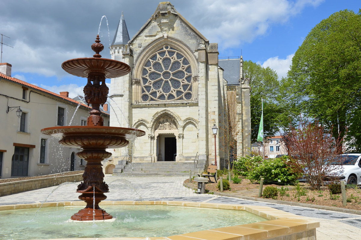
A tributary of the Thouaret River, the Joyette stream is a natural watercourse that flows through Sainte-Gemme from east to west.
The church of Sainte-Gemme was built in several stages, with extensions completed in 1860. Also located in the commune is the privately owned Saint-Guillaume Chapel, which has been listed as a Historic Monument since April 10, 1990. The chapel features remarkable wall paintings dating from the 14th and 15th centuries.

Follow us on social media